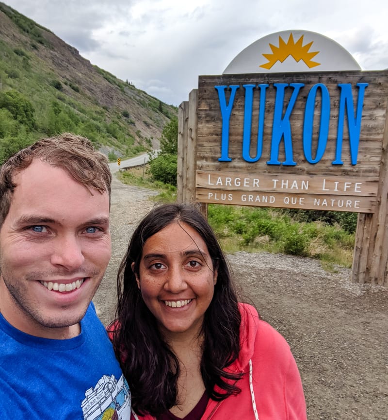
We made it to the Yukon!
We left Watson Lake, Yukon, and continued our drive along the Alaska Highway. Only 577 miles to go to reach the Alaskan border.
When we initially planned the trip, we expected to stop in Teslin after Watson Lake. It was 3-4 hours away, and normally we consider that about as far as we want to go in a day. We’ve been finding that longer driving days aren’t so bad, though. The drives are scenic, and we go at a slow, relaxing pace with regular stops, so we’re able to cover more ground. When we’re moving on a very regular basis, it’s also nice to have an extra day in one place rather than shorter driving days.
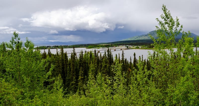
Teslin was a cute little town on the water
When we arrived in Teslin, we were feeling good, so we decided to push on to Whitehorse.
Whitehorse
We arrived in Whitehorse a bit late in the day, and we tried to grab a campsite at Wolf Creek Campground right near town; however, by that point in the day, it was already full. We chatted with some park rangers, and they suggested Marsh Lake Campground instead which still had plenty of open sites. It was about 20 minutes further out of town, but an extra drive was better than paying more for a nearby RV park, so we went for it.
It ended up working out really well. The first campground was super busy and had small, packed in sites. Marsh Lake was cleaner, quieter, and more spacious. We ended up spending four nights here - our longest stop in Canada.
Whitehorse is the capital and only city in the Yukon, and it has a lot to offer. There are some nearby hikes that others had recommended to us. You can soak in hot springs, bike on the many paths around town, or paddle down the river. We opted for exploring some of the town’s museums which came highly recommended.
Our first stop was the MacBride Museum. It included many interesting exhibits on the area, the people, wildlife, and the Alaska Highway. We also learned a bit about the Klondike Gold Rush that brought many people to the area. The museum also includes two historic cabins, some of the only buildings remaining from the original town (most were lost to a fire in the early 1900s).
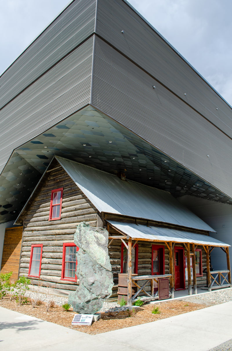
The museum was built around a historic building
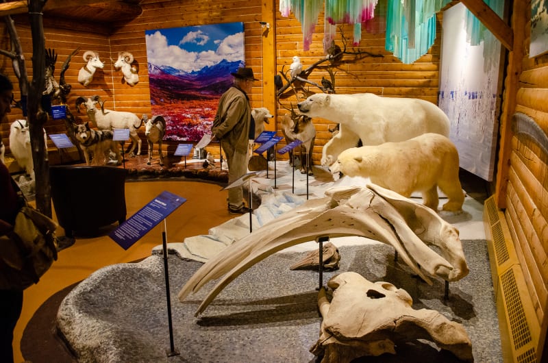
There were many animals common to the region on display
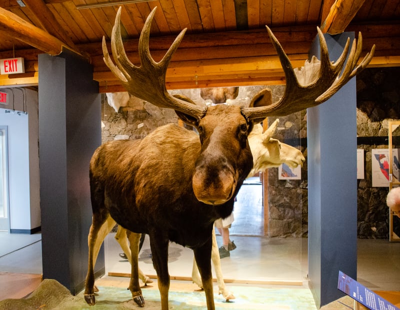
Moose really are huge
We also stopped by the Yukon Beringia Interpretive Center, a research center and museum that tells the story of Beringia, the land bridge that once connected North America with Asia. Maybe the most important take-away from the museum for me was that the term “bridge” is misleading. Maybe at some point in school I learned otherwise, but as far as I can remember, I’ve always imagined this land bridge to be this narrow strip of land that briefly connected the continents and allowed animals to migrate. It wasn’t. It was over 600 miles wide and existed for over 5000 years. The “bridge” itself was home to many species of plants and animals, including humans.
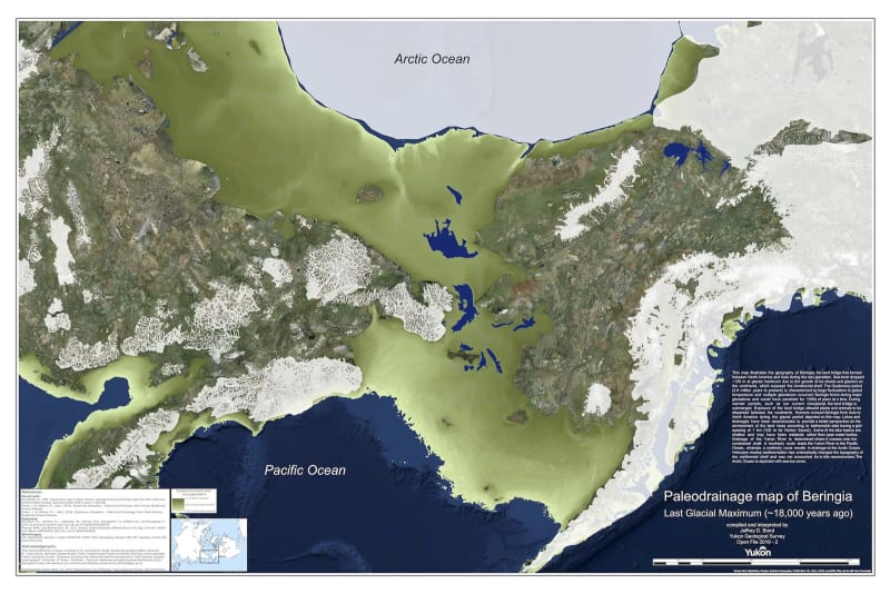
Beringia covered a lot of area
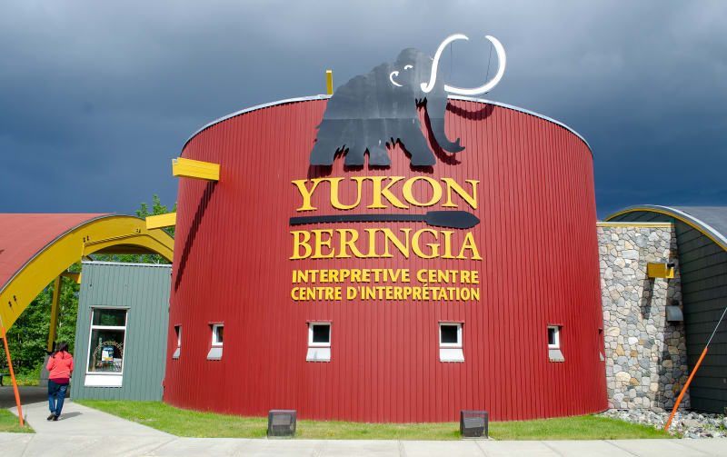
Yukon Beringia Interpretive Centre
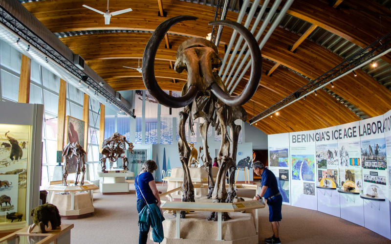
Wooly Mammoths were common in the region
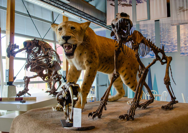
Large cats were also common
We also happened to be in Whitehorse on the same day as their Pride Parade, so we went out to show our support!
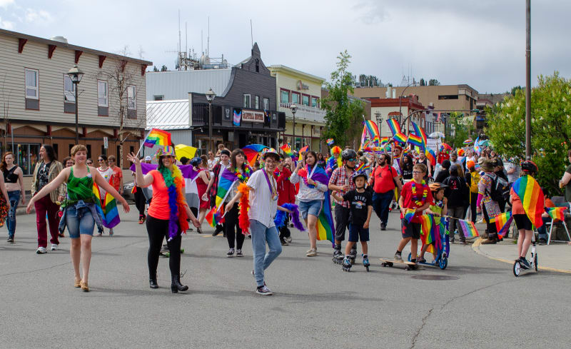
Yukon Pride!
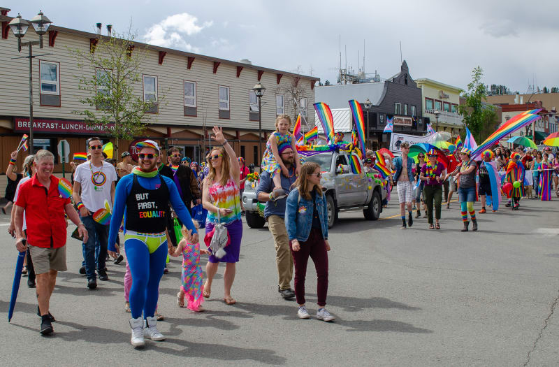
Yukon Pride!
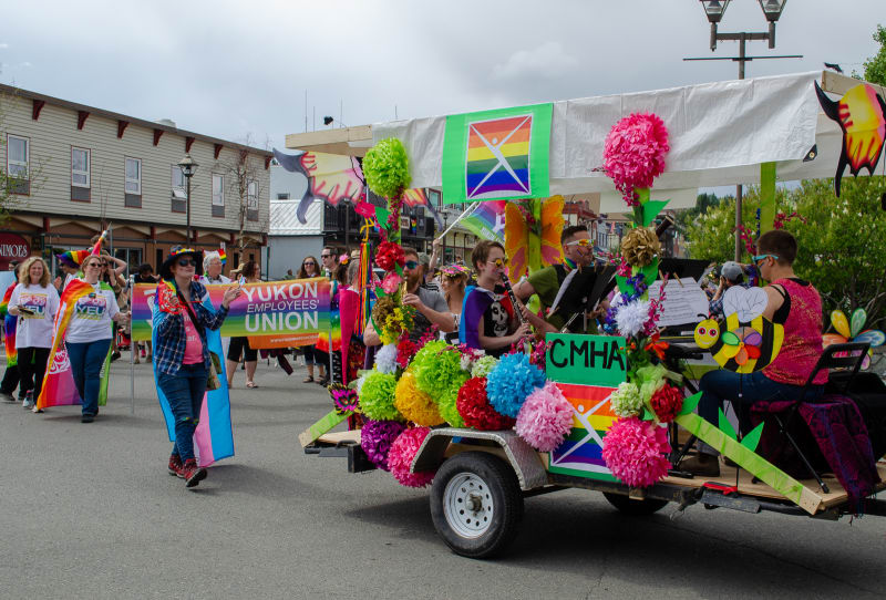
Yukon Pride!
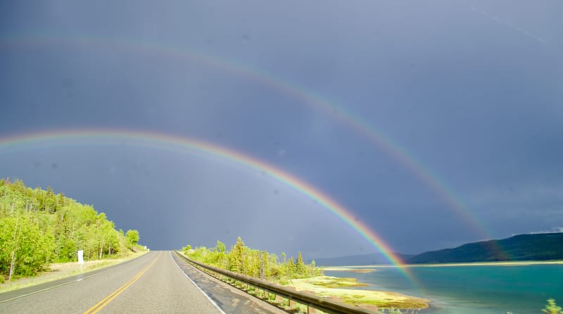
Mother nature showed her support with a double rainbow on our drive home!
Skagway, Alaska
We also used this stop to take a day trip down to Skagway, Alaska. It ended up being one of the most scenic drives of our trip (just behind Icefields Parkway). The route follows lakes and rivers through historic towns that were major stops along the gold-rush routes to the Klondike. It eventually runs through White Pass and drops along some amazing mountains and into the town of Skagway, Alaska.
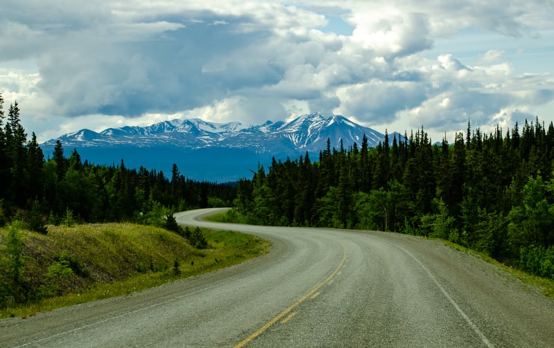
Beginning our drive along the South Klondike Highway towards Skagway, Alaska
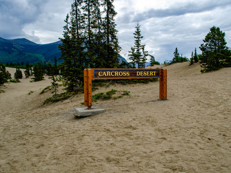
We stopped to check out the Carcross Desert on our way. It’s often called the world’s smallest desert, but it’s not really a desert, just glacial sand dunes.
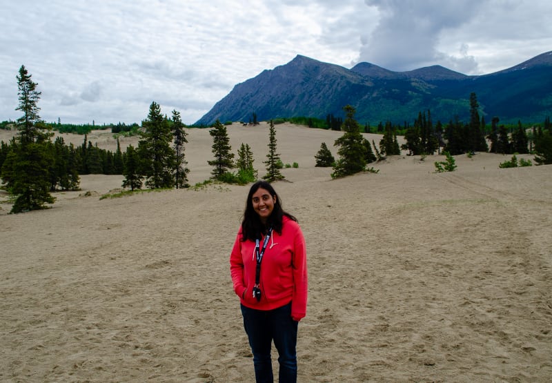
The ‘desert’ is only about 1 square mile
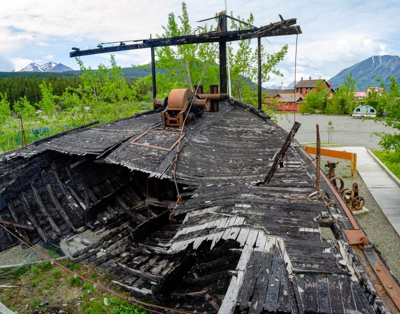
The remains of the S.S. Tutshi. She was a ship built in 1917 for tourists exploring the nearby lakes and rivers. She was restored in the 1970s, but a fire destroyed most of the ship. The remains are still on display.
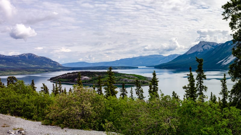
Bove Island in Tagish Lake
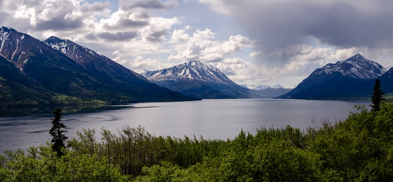
There were many large lakes along the drive
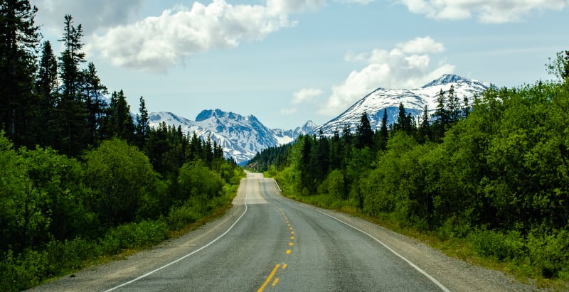
Getting closer to the Alaska Coast Range
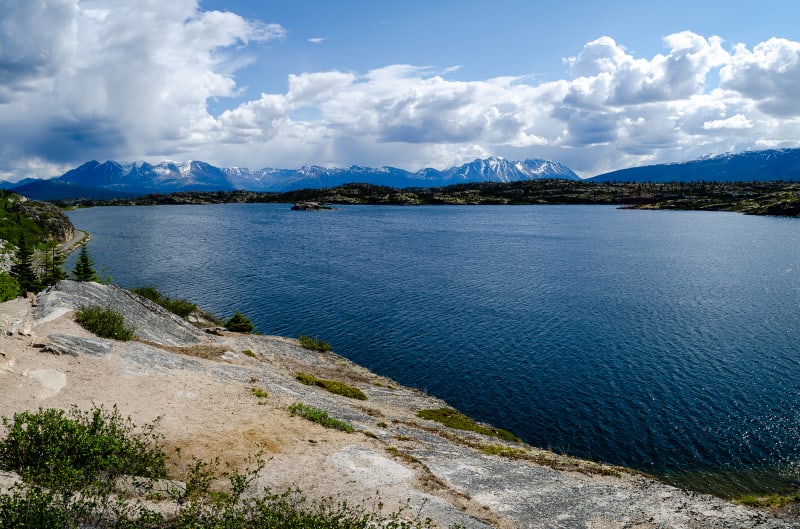
One more lake!
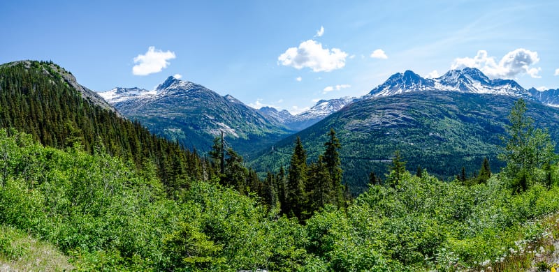
You can see the White Pass Railroad cut into the mountain side
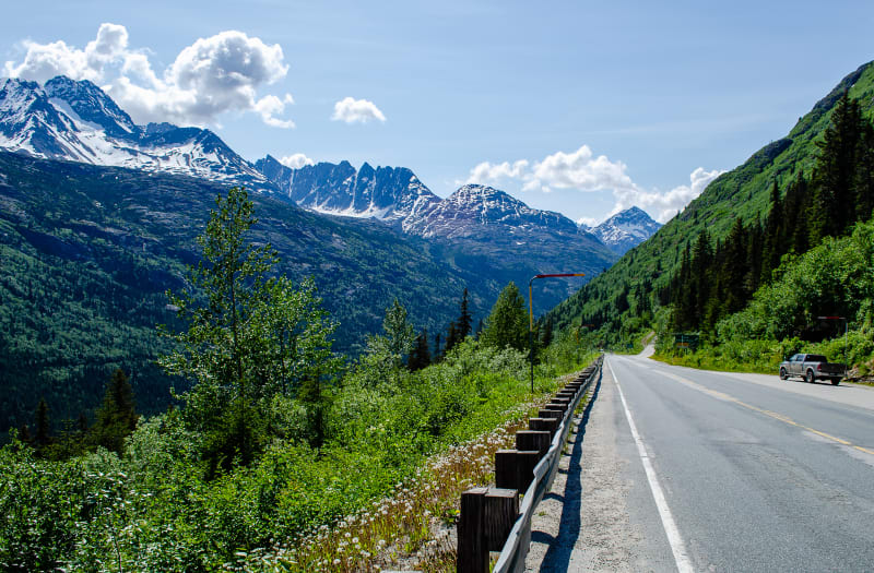
Descending into Skagway
Skagway is a popular stop for cruise ships touring Alaska’s panhandle, and tourism is a major part of the economy here. The town originally boomed during the Klondike Gold Rush in the late 1890s, though, and much of the town is now preserved as part of the Klondike Gold Rush National Historic Park. Many of the buildings downtown are originals that have been restored from the gold rush days.
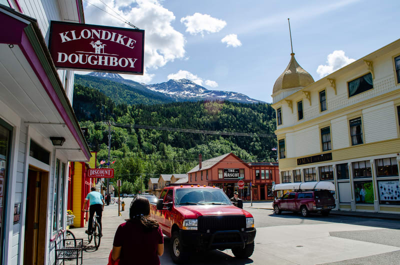
The town is nestled in among the mountains
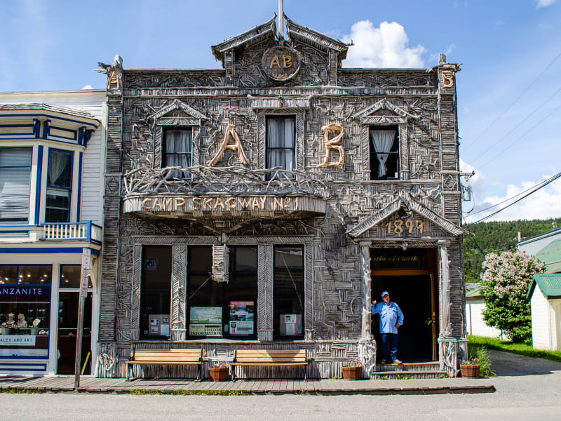
One of the more famous buildings in Skagway. The entire front is covered in pieces of driftwood.
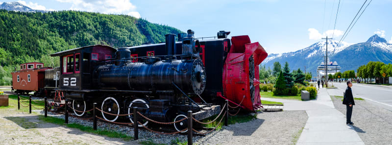
Some historic trains from the White Pass Railroad. The large turbine is a snowblower.
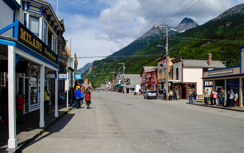
Downtown Skagway. Most of these buildings are part of the historic site.
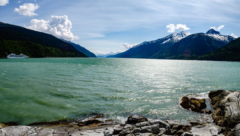
The harbor in Skagway
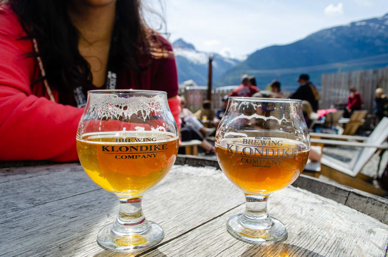
We made sure to try the local breweries before we left
I wasn’t even aware that this gold rush happened until we reached the Yukon, and it was really interesting to learn the history. I always love imagining how people traveled throughout the country prior to our fancy roads and highways, and the story here was all about exactly that.
Haines Junction
The Alaska Highway was in great shape around Whitehorse, but as we moved further northwest and into permafrost areas, the highway got noticeably worse. Our next planned stop was Haines Junction, and while it was shorter mileage than many of our other days, it ended up taking just as long. We probably could have driven faster, and many people passing us definitely were, but we took it nice and slow and still had a relatively leisurely drive.
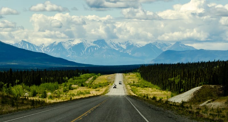
Driving towards Haines Junction with the Saint Elias Mountain Range in the distance
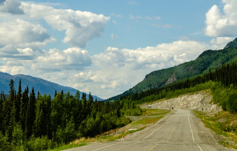
Some sections of the road were rough, but they were well marked and easy to spot from a distance
In Haines Junction, we camped along Quill Creek, one of my favorite campsites of the trip so far. It was just a pull-off along the highway, but across the road from our site was Canada’s Kluane National Park, and the front range of the Saint Elias Mountains was visible from our windows.
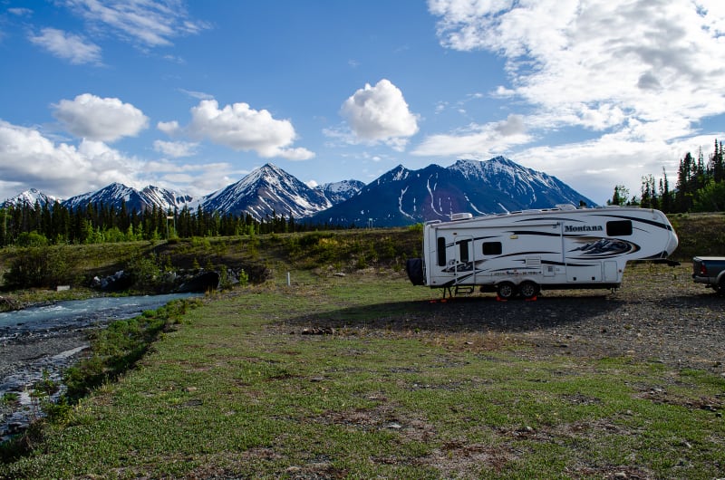
Our boondocking spot along Quill Creek
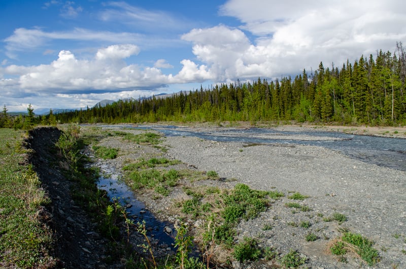
Quill Creek
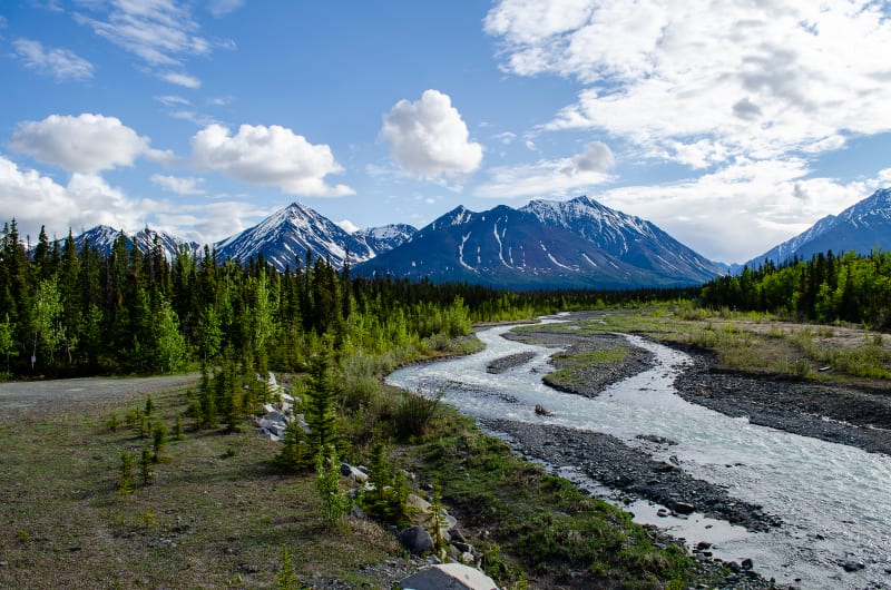
Quill Creek with the Kluane front range in the distance
We originally planned to spend a couple days here so we could do some hikes in the park; however, a combination of poor cell service and bad mosquitos pushed us out after one night. We did have a chance to stop at the park’s visitor center, though, and we got a lot of great information about the area. The park is over 80% mountains and glaciers, and it includes Mount Logan, the highest peak in Canada and second highest in North America (after Denali). The best way to see the park is a flightseeing tour, and we definitely hope to do that on our way home.
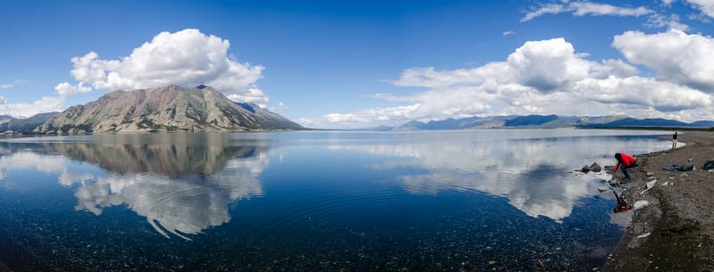
Kluane Lake
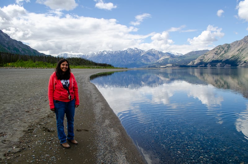
Kluane Lake
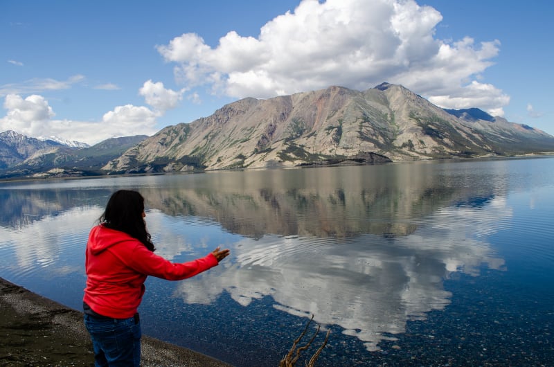
We spent a while skipping stones on the lake. Turns out, Sushila never learned how to do this. She’s getting better now!
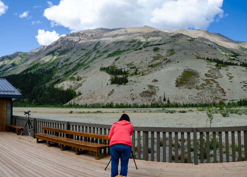
We stopped at another visitor center on our way out of the park to view sheep that live in the nearby mountains
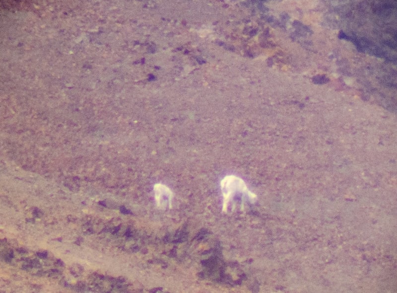
Even through the spotting scope, they were pretty tiny. I tried to get a picture through the scope anyway.
Up Next
Our final night in Canada was at Snag Junction Campground. It was a nice little spot on a lake, and the kitties were happy to be able to get out and explore without mosquitoes bothering them. The next morning, we crossed the border into Alaska!
