We said goodbye to Margot and Michael, left Jasper National Park, and continued our trip north. We went east out of the park and followed route 40 north. We had a quick overnight near Grand Prairie, Alberta, and then we made it. Mile 0.
The Alaska Highway - Mile 0
The Alaska Highway was constructed in 1942 following the bombing of Pearl Harbor and fears of a Japanese invasion in Alaska. Until then, there was no overland route between the contiguous United States and Alaska that would allow for movement of troops and supplies north. All that existed were a series of airstrips known as the northwest staging route. The Army stepped in and began construction of a route that stretched from Dawson Creek, British Columbia, to Fairbanks, Alaska. The route was opened to military traffic within one year, and it opened to the public in 1948. The original road was unpaved and not for the faint of heart. Since then, however, the route has been greatly improved and is now a well-maintained highway.
Mile 0 of the Alaska Highway is in Dawson Creek, British Columbia. There’s a historic sign marking the start of the route, and it’s a required photo op for anyone traveling the route.
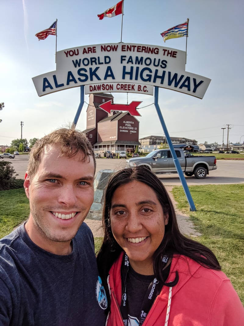
Selfie at Mile 0!
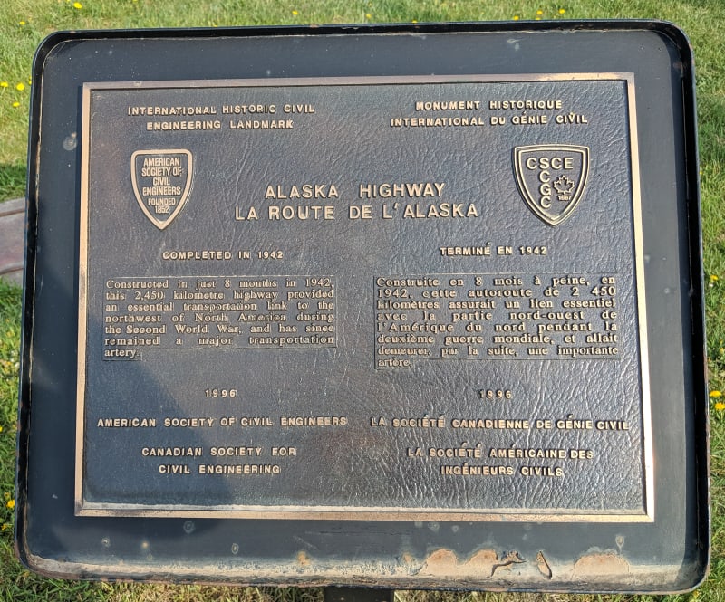
Sign commemorating the highway as an International Historic Civil Engineering Landmark
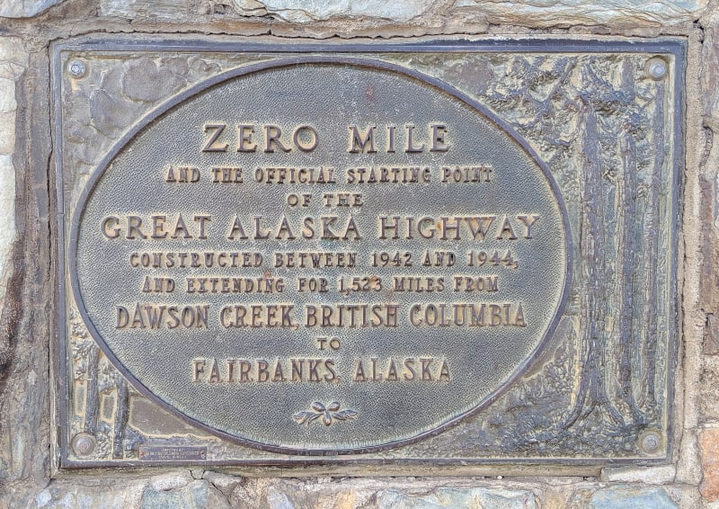
Historic plaque marking the start of the highway
We spent a couple days in Dawson City to take care of some chores and soak in the RV park Wifi before continuing north into the Canadian wilds (or at least that’s how it felt).
On The Road
Our first destination along the route was Liard Hot Springs Provincial Park, but it was too far to make in one day. We weren’t quite sure how much distance we’d be able to make in a single day, though. If it’s a stressful drive, with rough roads, lots of traffic, steep grades, etc, then we tend to try to make them shorter days. If it’s easy driving, we can go further. Some people talk about the Alaska Highway like it’s the wild west of driving, needing tanks of extra fuel, numerous spare tires, and a strong will to survive. I didn’t really imagine it would be that bad - people who’ve driven it more recently than the 1940s say it’s perfectly fine. Of course, it’s hard to know how different people define “perfectly fine,” so we still weren’t entirely sure what to expect.
We also weren’t sure what the camping situation would be. There were a few expensive campgrounds along the way, and we were definitely avoiding those. There were a couple provincial parks which were cheaper, but they weren’t in great stopping locations. There were also some boondocking options, but there were limited reviews so we didn’t know how we’d fare with those. To be safe, we kept a long list of potential camping options around the 3 hour (rough driving day), 4 hour (normal driving day), and 6 hour (great driving day) stopping points.
We ended up traveling close to 7 hours before stopping.
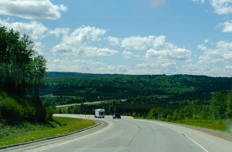
Rolling hills at the start of the Alaska Highway
There were a few bumps here and there, but for the most part, this section of the Alaska Highway is in better condition than most roads we drive in the lower 48. We were a bit east of the Rocky Mountains, so there weren’t many steep grades, just rolling hills. There are also pull-outs and rest areas every few miles, so it was easy to stop and take a break whenever we wanted. Most of these stopping points allow overnight camping, too, so there wasn’t any risk of not being able to find a spot to stay for the night.
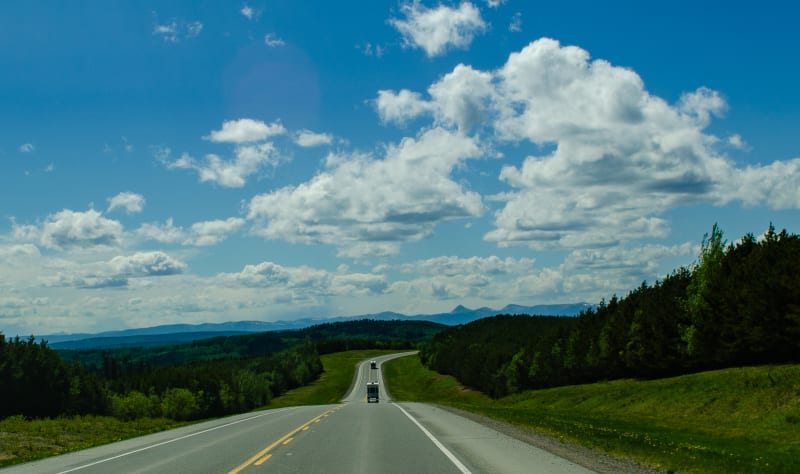
Not a bad way to start the day
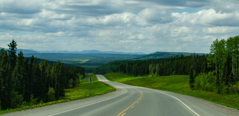
I loved seeing the road off in the distance
We did end up passing through a few sections of heavy smoke from the wildfires in northern Alberta, but otherwise it was smooth sailing.
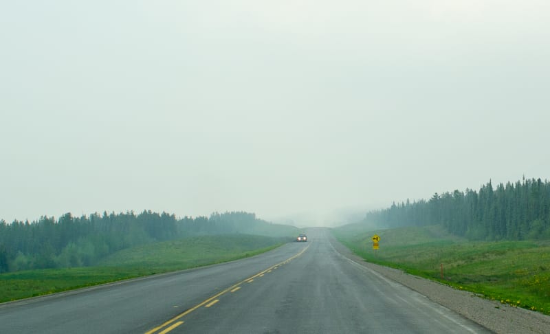
Smoke from the wildfires in northern Alberta
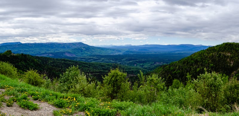
A scenic overlook along the drive
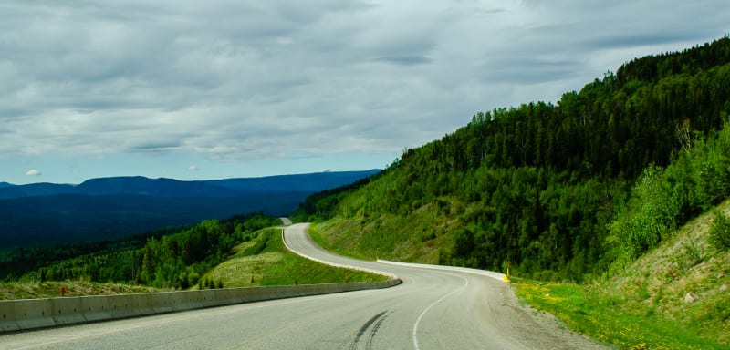
The hills got bigger as we moved further north and west
The only major town we passed through was Fort Nelson, British Columbia. We stopped there for dinner and cell service that we’d been missing all day. After a brief stint of connectivity, we continued on. It was close to dusk at this point, and the bears finally decided to show themselves. In our last hour of driving, we saw 4 or 5 black bears right along the road.
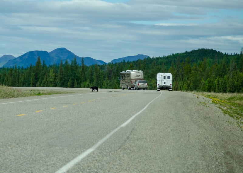
Most of the bears were near the tree line, but this one walked right across the road in front of us
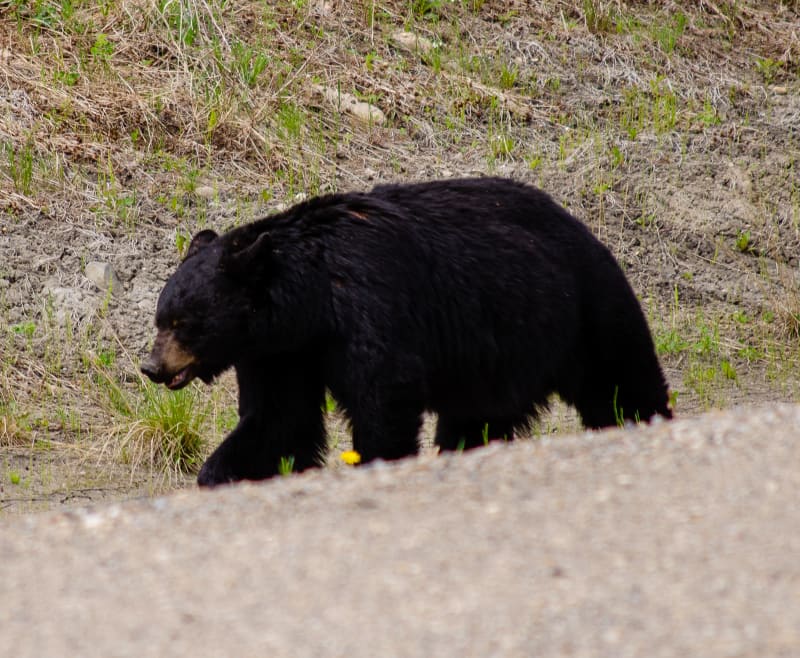
He didn’t seem to mind the traffic
We ended up camping in a rest area along the road. It wasn’t anything fancy, but it was easy access, and we ended up having pretty great views of the nearby river from our windows.
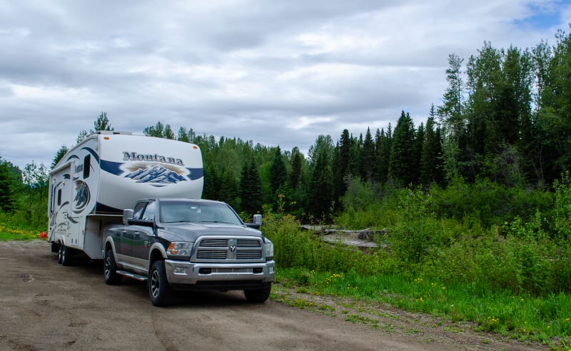
Our ‘campsite’ for the night
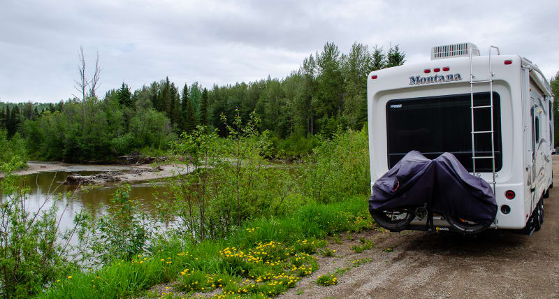
It was free and the views actually weren’t bad despite being right next to the highway
We got an early start the following morning and stopped at the Tetsa River Lodge, also known as the “Cinnamon Bun Centre of the Galactic Cluster,” to try one of their famous cinnamon buns. I’m not sure I’d call it the greatest cinnamon bun in the universe, but it was good and definitely worth the stop.
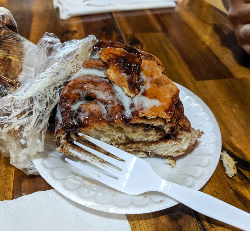
Cinnamon bun!
From there, the highway winds its way into the Rocky Mountains, and up we went. The road is more narrow and winding here, so it was a little slower going, but the conditions were otherwise fine. It was a beautiful sunny day, so we weren’t in a rush.
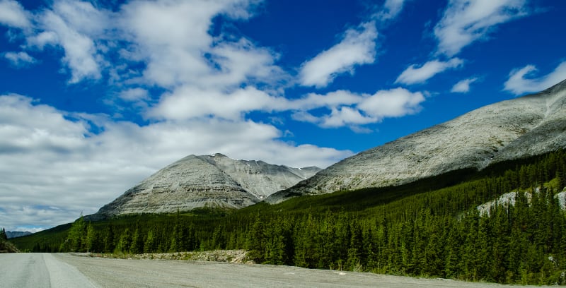
Stone Mountain Provincial Park
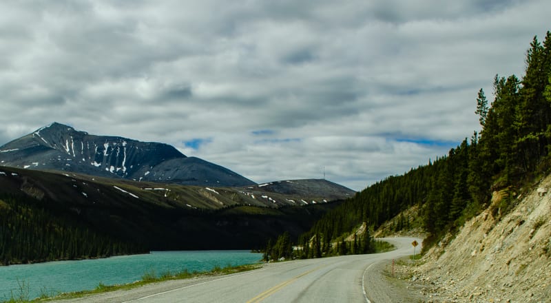
Stone Mountain Provincial Park
We drove through Stone Mountain Provincial Park and Summit Pass. At 4,250’ in elevation, it’s the highest point on the Alaska Highway. We descended into MacDonald Valley and then climbed again. The rest of the day was filled with ups and downs as we made our way across the mountains.
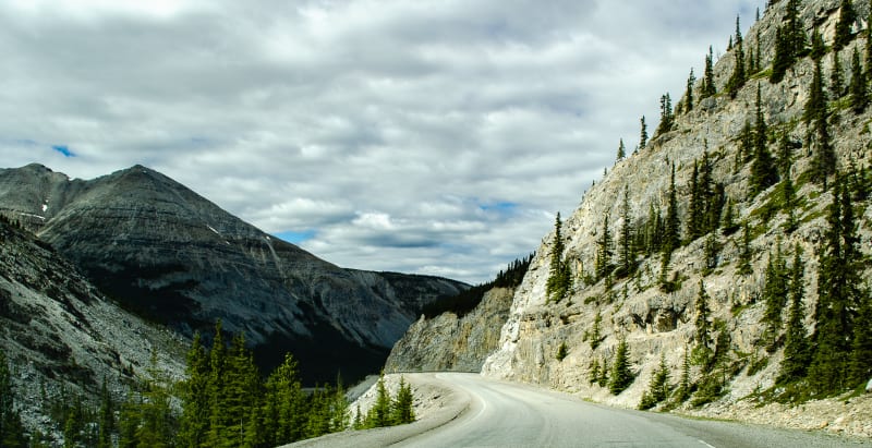
Descending into MacDonald Valley
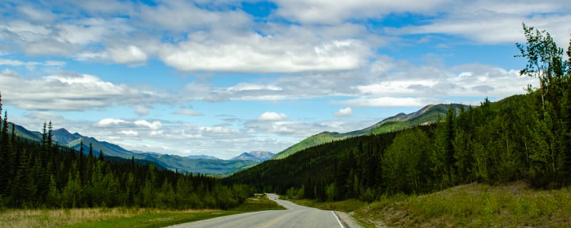
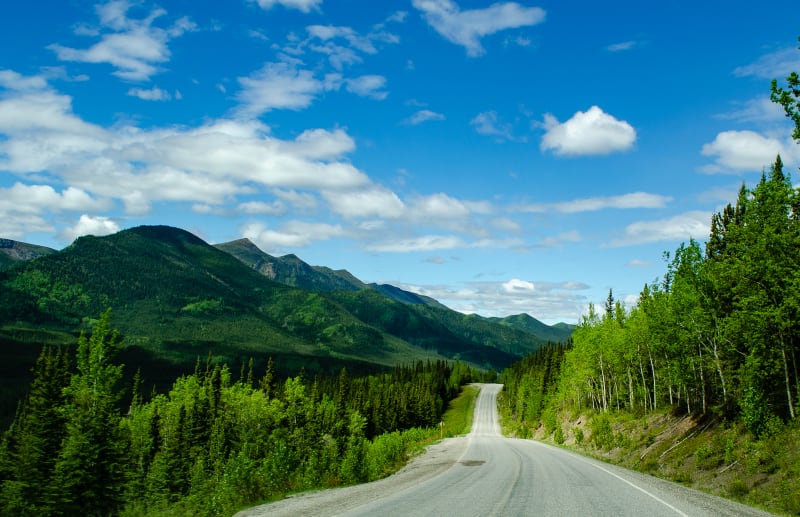
These were our views for most of the day
The highway also passed along Muncho Lake Provincial Park. When approaching from the east, one of the first things you notice is Folded Mountain. Like the rest of the Canadian Rockies, the rocks originally formed when the area was a shallow sea on the western edge of the continent. As the North American continent moved west and over the pacific plate these rocks buckled and folded. The bends and twists in the layers of rock are exposed here, and there was a nice viewpoint and lunch spot.
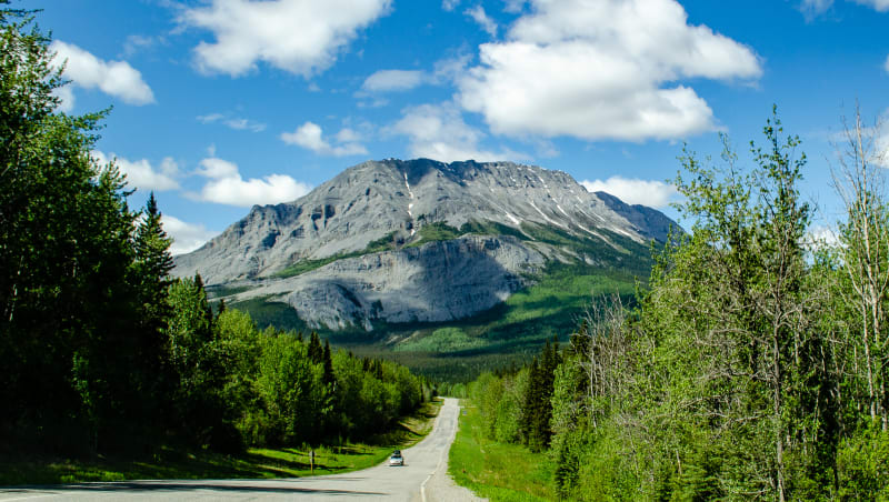
Approaching Folded Mountain in Muncho Lake Provincial Park
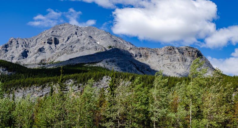
Folded Mountain

Not a bad spot to stop for lunch
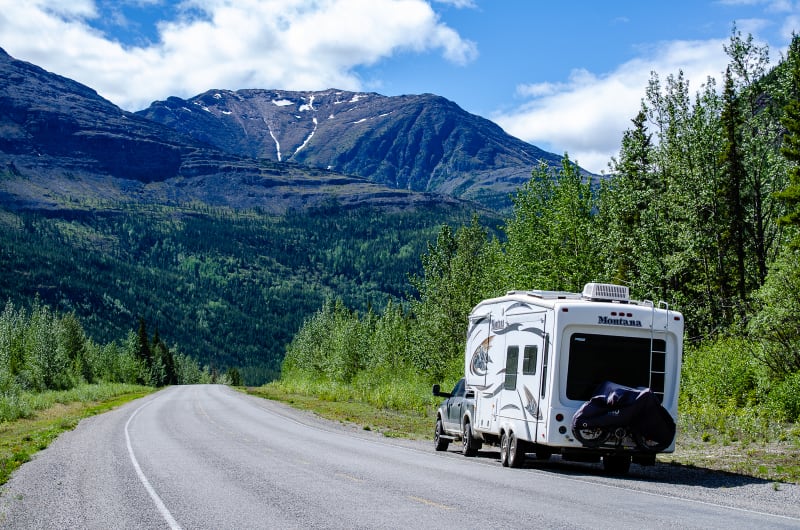
LSP looking good!
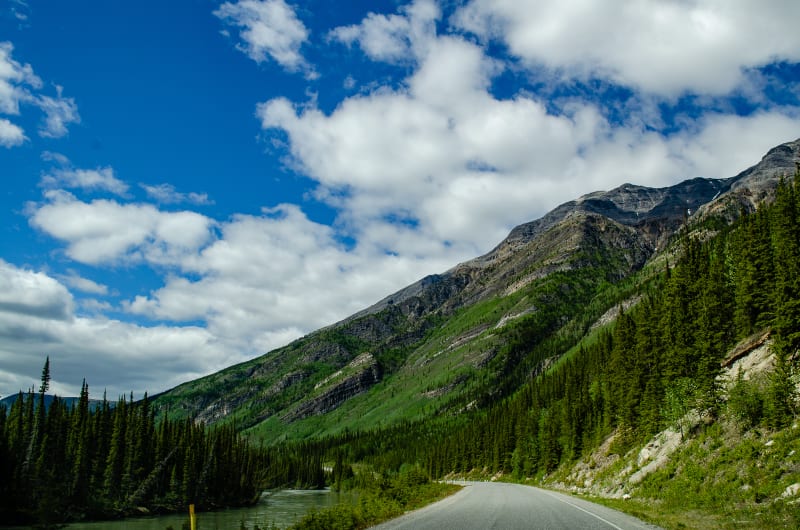
Driving along Toad River as we approach Muncho Lake
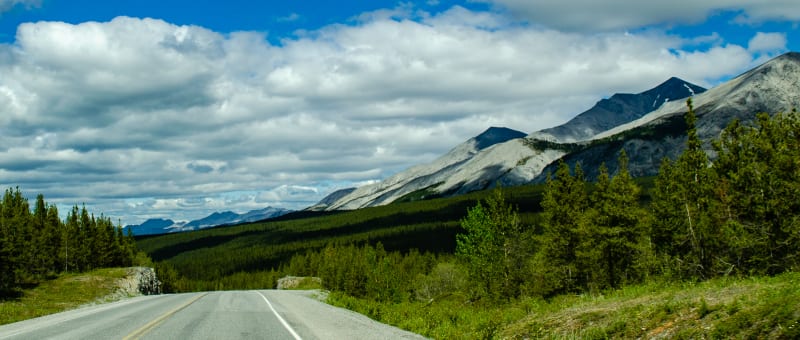
Approaching Muncho Lake
The highway follows along a steep cliff wall which was one of the most challenging sections in constructing the Alaska Highway. We stopped for a break and checked out one of the campgrounds in the park. It was right along the water and had some pretty amazing views. We were really tempted to stay there for the night, but we decided to finish the drive and soak in the hot springs instead.
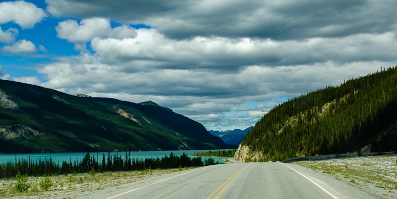
Muncho Lake!
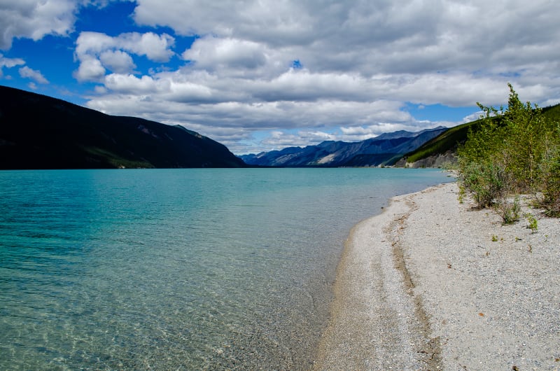
A nice beach at one of the camp sites in Strawberry Flats Campground
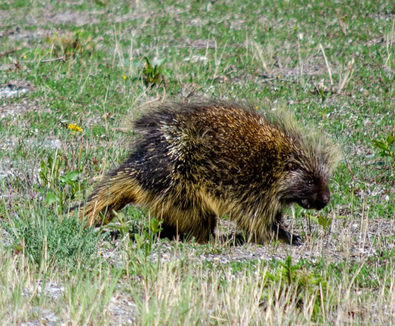
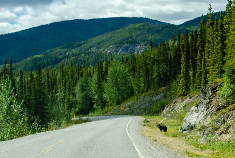
We had some more wildlife sightings along the drive, too!
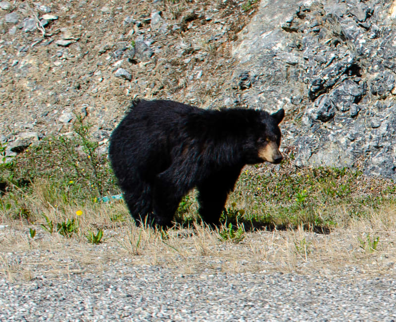
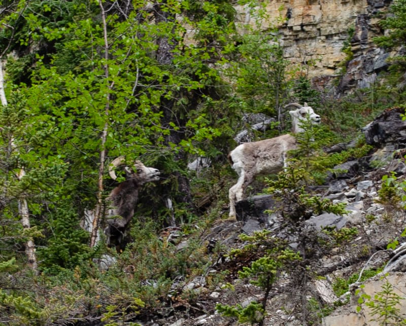
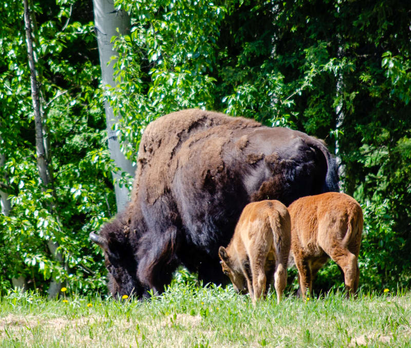
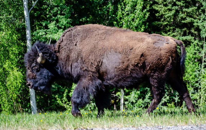
Liard River Hot Springs
Liard River Hot Springs Provincial Park was recommended by pretty much everyone we talked to, so it was a must-stop on our way north. I was a little worried that all the hype was setting us up for a let down, but no, not at all. If anything, I think it was undersold. These were far and away the best hot springs I’ve ever visited.
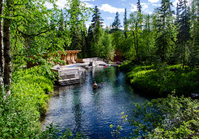
The view from the top of the main pool
You walk approximately 1 km along a boardwalk through a marsh and boreal forest before arriving at the springs. One side of the pool has a structure with changing rooms, bathrooms, benches, etc. There are nice steps leading down into the pool. The rest of the main pool, though, is a natural dirt bank lined with bright green ferns and trees. It looked amazing. The pools are fed from a natural spring above. The turquoise water was crystal clear. The bottom of the pool was covered with smooth stones and dirt that was easy to walk on but didn’t feel muddy or slick like other natural springs. There was a small waterfall leading from the main pool down into a secondary, all natural pool with slightly cooler water. The river continues out from the second pool, and you can follow it further down. It eventually flows into additional, larger pools; however, they have been closed to the public for a while now.
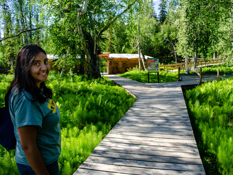
The boardwalk led from the campground to the hot springs
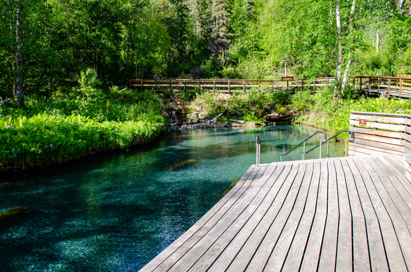
The water was crystal clear. The two objects you can see in the water were benches.
After our stop, we also learned that you’re supposed to stack a rock at the far end of the pool where the hot water enters. Apparently it’s a thing. Oops. I guess we’ll just have to come back.
Watson Lake
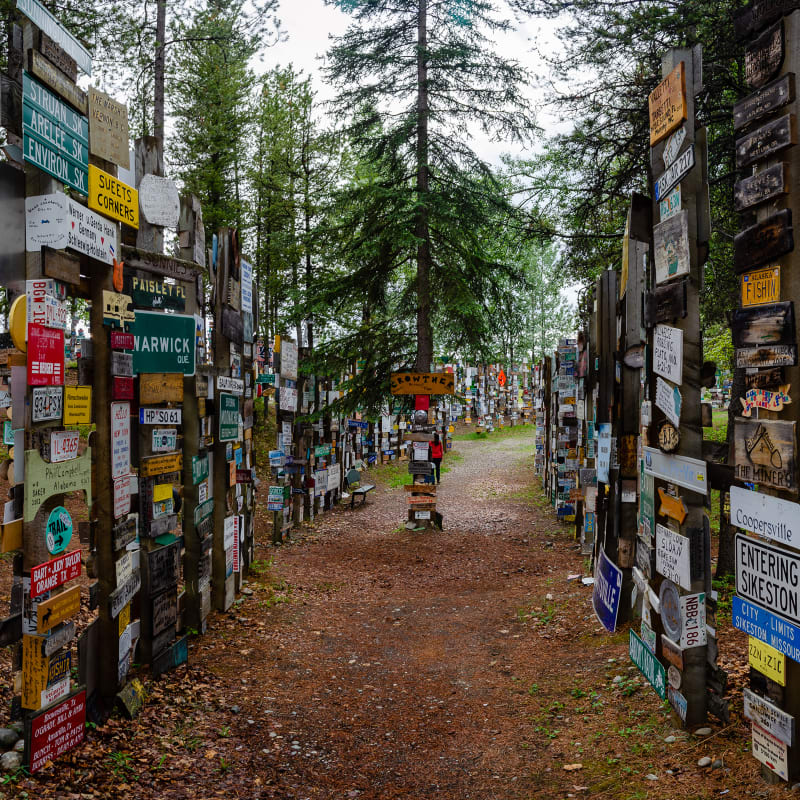
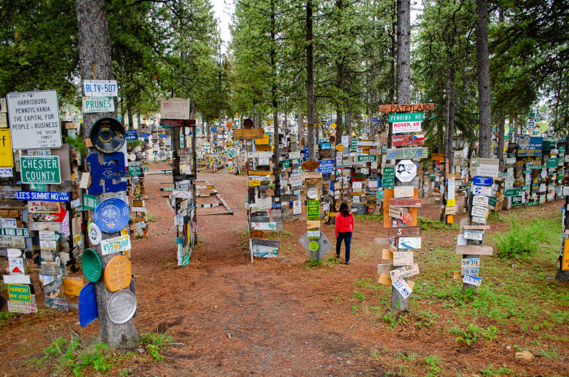
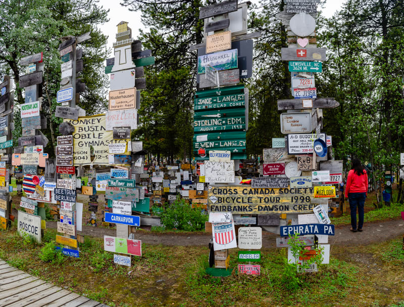
To round out this leg of the trip, we finally crossed 60 degrees north latitude and entered the Yukon Territory. Our first stop in the Yukon (and first cell service since Fort Nelson) was Watson Lake. We made sure to visit the Sign Post Forest while in town. It’s one of the most famous landmarks along the Alaska Highway.

The Sign Post Forest. The machines on display were used during the construction of the highway.
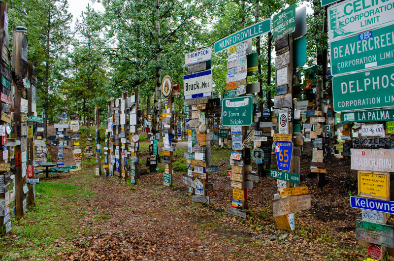
The Sign Post Forest was started in 1942 while the Alaska Highway was still under construction. One of the army engineers added a personalized sign to a sign post along the new route, and it has been growing ever since. Today, there are over 88,000 signs in the forest. Each year, new posts are added so travelers can continue adding signs.
We also stopped by the Northern Lights Center which is a planetarium-like building that had presentations on solar storms and the northern lights. It was nice to learn more about what actually causes the northern lights, and the visuals were pretty amazing. It was definitely worth the visit. Fingers crossed that we’ll get to see the northern lights for ourselves before this trip is over!
